Wild weather for southeast, as storm threatens Origin I
Andrew Stafford |
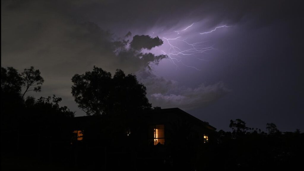
Wild weather is set to bring widespread rain to Australia’s southeast and possibly disrupt one of the nation’s biggest sporting rivalries.
The dynamic and unstable system is expected to bring heavy falls in the coming days to an area spanning southern and central Queensland to northern and coastal NSW, and as far south as eastern Tasmania.
The wet weather threatens to put a dampener on the State of Origin rugby league opener which kicks off in Sydney at 8.05pm AEST on Wednesday.
“We were hoping for a dry State of Origin, but unfortunately there is quite a good chance of showers for the game tonight, and even the chance of a thunderstorm through Sydney,” Bureau of Meteorology’s Ilana Cherny told AAP.

Thunderstorms may even threaten to disrupt Origin I, with lightning strikes within 10km of a venue prompting games to be immediately suspended for at least 30 minutes under NRL rules.
An NRL match in Sydney was stopped by lightning in June 2025, disrupting South Sydney’s clash with the Bulldogs.
The drenching has been triggered by a developing low pressure system fed by numerous troughs over eastern Australia, with additional moisture streaming in from the tropics, the bureau said.
Significant totals have already been logged in the past 24 hours, extending from Renmark, South Australia through to central west NSW, Victoria’s Gippsland region and Tasmania’s east coast.
A downpour of 88mm was recorded at Oranmeir on NSW’s Southern Tablelands while in Victoria 67mm was recorded at Balook and a further 61mm at the Thomson River in Gippsland.
In Tasmania, 52mm fell at Gray on the east coast while 46mm was recorded at Renmark on the Murray River.
A severe weather warning alert has been issued for Tasmania’s northeast, threatening six-hour rainfall totals of 50mm and up to 100mm in 24 hours.
A flood watch alert has been issued for the South Esk River.

The focus will switch to Queensland and northern NSW on Thursday, with more heavy falls and possible severe thunderstorms forecast one of the troughs and low pressure centres moves east.
“Severe thunderstorms with heavy rainfall are possible through quite a large area, with damaging winds and large hail also possible through southern Queensland,” senior meteorologist Ms Cherny said.
Storms are set to extend from Queensland’s Central Highlands through to northern NSW on Thursday.
In good news, Queensland’s parched southern interior and Darling Downs should also receive good rainfall.
AAP