High alert as cyclone, heatwaves, fires loom large
Poppy Johnston and Callum Godde |
Tropical Cyclone Luana is making its way onto Western Australia’s north coast, packing winds up to 130km/h.
With south-eastern Australia enduring more heatwave conditions, the category two system was an estimated 50km southwest of Cape Leveque and 120km west of Derby shortly after 2pm local time on Saturday.
Churning east southeast at 12km/h, Luana was expected to deliver damaging winds and rain between Broome and Kuri Bay, 370km to the north, throughout Saturday evening and overnight.
Bureau of Meteorology forecasters expect the cyclone to maintain its intensity until close to the Kimberley township of Derby.
It should then weaken on Sunday morning before moving further inland.
“Destructive wind gusts to 130km/h may occur near the system centre between Beagle Bay and Cockatoo Island today as the system moves further over land,” the Bureau of Meteorology warned.
“These … may extend to Derby tonight if the system maintains strength longer than forecast.”
Forecaster Jonathan Howe said heavy rain leading to flash flooding was also possible.
“This may cause roads to become flooded and communities to be isolated,” he said.
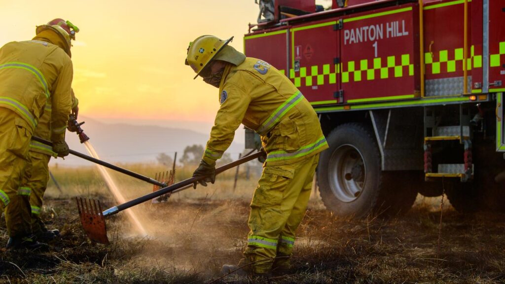
Further south, an emergency bushfire warning was in place for the rural town of Bannister and surrounds, roughly 120km southeast of Perth.
Residents were urged to leave immediately if it was safe to do so.

Inland heatwave warnings were meanwhile issued on Saturday in South Australia, Victoria, NSW and southern Queensland.
A run of between five and eight hot days and nights was likely, forecasters said.
Total fire bans were in place across South Australia and Victoria, with temperatures in coming days to rival those recorded during the Black Summer of 2019-20.
SA’s Yorke and Eastern Eyre peninsulas faced catastrophic fire danger, making blazes almost impossible to contain should they break out.
Victoria was forecast to record temperatures between 38C and 44C statewide, with wind gusts expected to peak at 70km/h in some areas.
The mercury in Adelaide was predicted to peak at 43C, while Melbourne was set to top 40.

Play at the Australian Open’s four largest courts started an hour early to beat the heat, while the Tour Down Under’s iconic Willunga Hill component was dropped and Saturday’s stage time was brought forward due to the bushfire danger.
Bushfires at Walwa and Dargo in northeast Victoria, sparked on January 9 in scorching conditions, are still burning at watch and act level.
Shallow winds were expected to bring some reprieve to Australia’s southeast from Saturday afternoon, with the mercury to rise again from Monday.
Parts of Victoria will edge towards 50C on Tuesday, with a forecast top of 48C at Ouyen, about 400km northwest of Melbourne.
That’s 0.8C off the state record set on Black Saturday in 2009.
AAP