No time to stow the brollies with soggy spring forecast
Farid Farid |
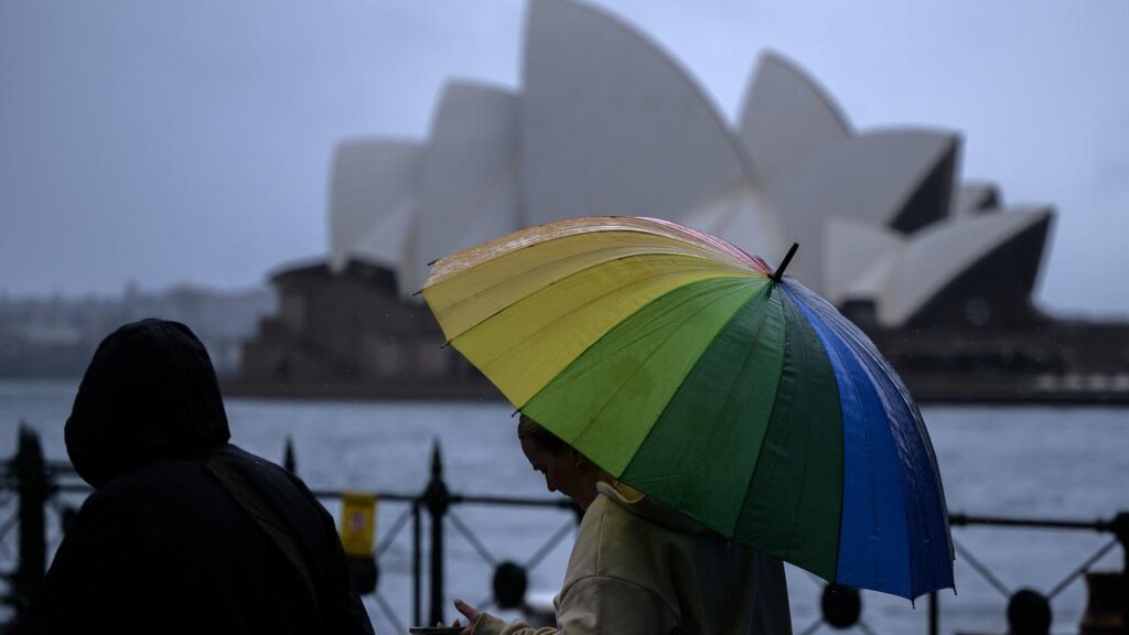
Showers are forecast to become the norm for Australia’s east coast this spring, with warmer nights tipped through the season for most of the country.
Rainfall is likely to be above average for most of the eastern half of Australia from September to November, the Bureau of Meteorology says in its long-range forecast published on Thursday.
“There is an increased chance of unusually high rainfall across much of eastern and central parts of the country,” senior meteorologist Angus Hines said.

More heavy rainfall will bring further flooding in NSW and Queensland in what has already been a very wet year for several regions. But the rain will fall more on inland parts of NSW compared to coastal towns in recent years, the bureau’s forecast said.
Average spring rainfall in recent decades has been 100mm to 300mm along the east coast, while western NSW has had 25mm to 100mm.
In Victoria, the spring totals may reach some 400mm over the Great Dividing Range while the northwest corner is predicted to receive 50mm to 100 mm.
In Queensland the strongest chances of sustained showers will be in parts of the interior and northeast, the bureau said.

Warmer night are also forecast for pretty much every state and territory.
“Night-time temperatures are likely to be above average across the country, except for parts of southern Western Australia,” Mr Hines said.
Spring is also the start of the severe weather season and a peak time for severe thunderstorms along Australia’s east coast, where coastal lows will bring damaging winds, heavy rainfall and flash flooding.
But the rain will provide relief to swathes of Victoria, South Australia and western Tasmania that have experienced prolonged droughts and dry conditions.
The timing of the rain will be earlier than usual for most of Queensland and the Northern Territory for the northern wet season, but it will be later than normal on the other side of the country in WA.
Some parts of the country remain at an increased risk of fire despite the wet conditions, fire chiefs and commissioners said in a bushfire outlook for spring.

Higher fire risk has been identified for much of Victoria including Melbourne, as well as some agricultural areas of SA’s Murraylands east of Adelaide.
Parts of WA’s Kimberley and Pilbara regions will also be at higher risk over spring, according to the outlook released on Wednesday by firefighting council AFAC.
People across the country should remain vigilant for fire risk regardless of the outlook, AFAC chief executive Rob Webb warned.
“No matter where you live or travel this season, everyone can play an important role in bushfire safety this spring by being prepared and staying alert to warnings and advice,” he said.
“Having a plan doesn’t take long and might just make the difference.”
AAP