Major dam to likely spill as ‘bomb cyclone’ hits coast
Alex Mitchell and Farid Farid |

Australia’s largest urban water supply is at risk of spilling as a “bomb cyclone” pounds the east coast and presents major flash-flooding risks.
Parts of NSW have had rainfall totals of more than 120mm in one day and authorities warn the coming 24 hours could be even worse.
Millions of residents from the NSW-Queensland border to eastern Victoria are expected to feel the wrath of a fast-moving, severe low-pressure system intensifying near Sydney.
The rapidly deepening system is known as a “bomb cyclone”, although the meteorological term is generally used sparingly so as not to incite panic, the Bureau of Meteorology said.
Heavy rain and destructive winds lashed greater Sydney on Tuesday, as numerous suburbs notched more than 40mm, including Helensburgh and Cronulla in the south and Belrose in the north.
Jervis Bay on the south coast bore the brunt of the “bomb cyclone”, with fishing village Currarong, Greenwell Point and the local airport each collecting 120mm by 3pm on top of a Monday night drenching.
Residents at North Entrance on the Central Coast were urged to evacuate late on Tuesday because of coastal erosion from four-metre seas.
Warragamba Dam, west of Sydney, is expected to spill as early as Thursday, depending on rainfall, adding to flooding risks on the city’s outskirts.
“Under the more likely forecast, the dam would begin to spill a much lower volume later in the week or into Saturday,” a WaterNSW spokesman said.
The weather bureau has issued flood watch warnings for southern parts of the mid-north coast, Hunter, Hawkesbury-Nepean, Sydney-Illawarra coast and Snowy catchments.
But flash flooding was the bigger risk due to the fast-moving nature of the weather compared with the slow, pounding rain that inundated the mid-north coast earlier this year, the SES said.
“It is fast-moving and very different to recent events that we have seen in NSW,” deputy commissioner Debbie Platz said.
“What we expect is the rain will be very rapid, it will be heavy and it will be short and sharp.”

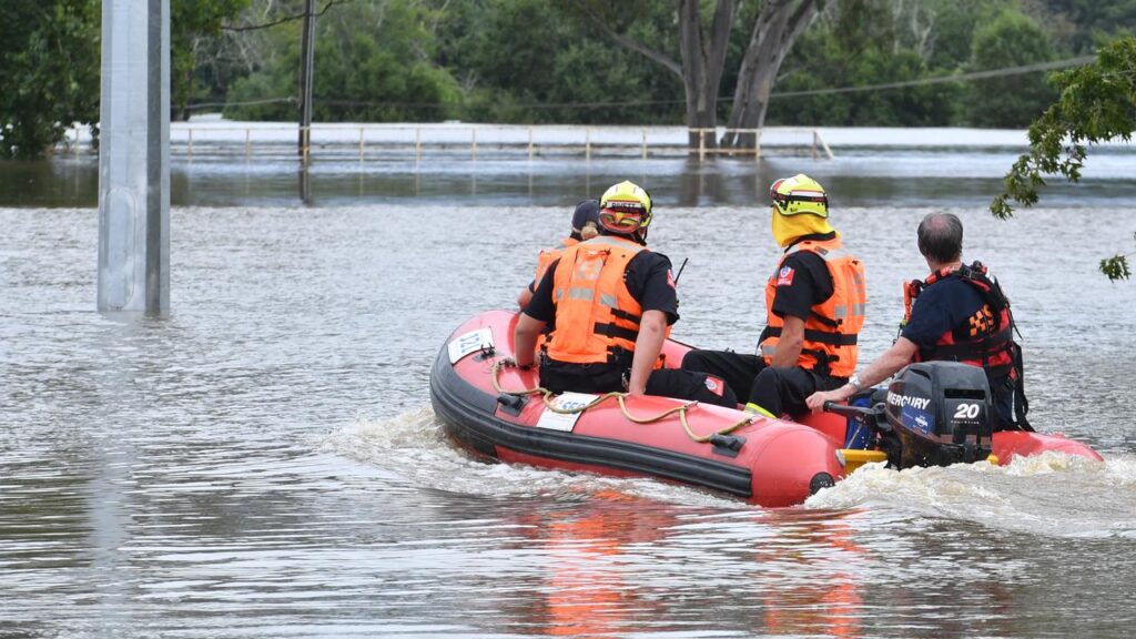
Emergency Services Minister Jihad Dib said high-clearance vehicles, helicopters, boats and other vehicles had been pre-deployed in some areas to prepare for flooding.
Driving through floodwaters was the biggest danger, Natural Hazards Research Australia chief executive Andrew Gissing said.
Research has found 84 per cent of motorists ignore road closure signs, and those most likely to enter floodwaters are younger men, people who work outdoors and four-wheel drive operators.
“Driving through floodwater is a leading cause of flood fatalities, though research shows that many motorists often attempt to cross flooded roads,” he said.
Major disruptions have been experienced at Sydney Airport, with 43 departure flights and 36 arrivals cancelled on Tuesday, to go with hundreds of delays.
The SES had more than 1700 calls since 5am on Monday, and responded to about 930 incidents.

The peak impact of the system was forecast to happen on Wednesday, and there was a risk of minor flooding at Wallis Lake, near Taree on the mid-north coast.
Taree township, hit hard by floods in May that killed five people and damaged thousands of properties, was not expected to be affected, local authorities said.
The mid-north coast region is an area of concern for emergency services because the soil is still saturated from the May floods.
The deepening coastal low would also result in dangerous beach conditions, coastal erosion and damage to the NSW coast from Seal Bay to Batemans Bay, the bureau warned.
Rain rates and winds are expected to ease on Wednesday and ocean swells should ease on Thursday.
AAP