Month worth of rain to drench NSW
Phoebe Loomes |
Three successive weather systems are posing a risk of widespread flooding in NSW, as heavy showers drench already swollen rivers and push dams above capacity.
“We’re looking at around a month or more worth of rain, particularly across inland areas in NSW,” Gabrielle Woodhouse from the Bureau of Meteorology said on Tuesday.
An initial weather system will on Wednesday bring widespread totals of 20-40mm from southern Queensland across inland NSW, then through to northern Victoria, blanketing much of the country’s east.
High totals of 50-100mm are expected in inland parts of the state, heightening the risk across already saturated catchments.
“We’ll start to see more of a flash flood risk as well as riverine flood risk over the coming days,” Ms Woodhouse said.
“There is a lot of rain and … it’s falling on very, very wet catchments.”
Rain and thunderstorms hit inland NSW on Tuesday, with a severe weather warning covering much of the state’s west, from Nyngan in the central north, to Deniliquin near the Victorian border, through to Broken Hill in the central west.
The weather system moved east to the coast from inland NSW on Tuesday afternoon.
Severe thunderstorms with heavy rainfall, damaging winds and a chance of flash flooding are likely on Wednesday, concentrating on southern Queensland and northern NSW.
A second weather system will bring storms, rain, and bursts of heavy falls to parts of southern Queensland and NSW, to southern Victoria, from Thursday night and into Friday.
Finally, a third rainfall system will sweep across southern Queensland, NSW and eastern Victoria on Saturday and Sunday.
There is a high chance of floods as the three weather systems dump water on catchments already dealing with flooding.
“This rainfall is likely to lead to widespread flooding across many of our rivers across NSW,” Dean Narramore from the Bureau of Meteorology said Tuesday.
Flood warnings are already active in multiple inland catchments including the Namoi, Darling, Culgoa, Lachlan, Birrie, Bokhara, Bogan, Macquarie, Murray, Edward and Barwon rivers.
As the rain falls, it’s expected further severe warnings will be issued in northern Victoria and southern Queensland.
The SES is concentrating on key communities as it expects flooding in western and central NSW towns including Gunnedah, Wee Waa and Warren this week.
The town of Warren, on the Macquarie River and downstream of Burrendong Dam, is expected to experience major flooding, with river levels reaching 9m by Wednesday.
Nyngan, about one hour from Warren, is also being monitored closely, SES Commissioner Carlene York said.
Multiple inland dams are full or above capacity, including Burrendong at 118 per cent, Carcoar, west of Bathurst, just over 100 per cent, and Glennies Creek Dam in the Hunter region, also just over capacity.
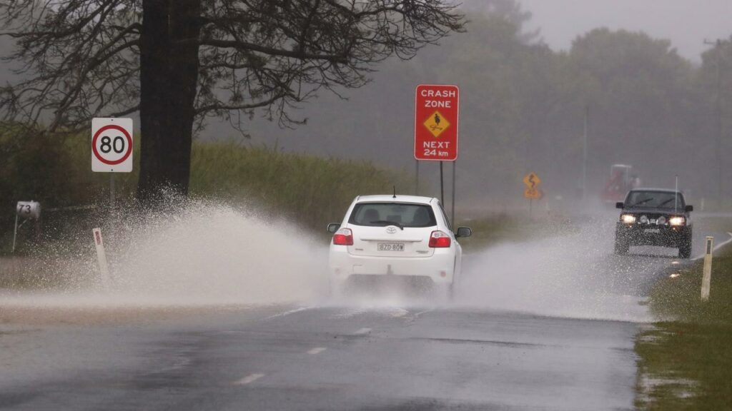
A stranded driver had to be rescued by SES volunteers on Monday after trying to drive across a flooded roadway, Ms York said.
As the school holidays come to an end this weekend, she urged people to drive with care, and not to drive across flooded roadways.
AAP