Wild, unseasonal weather unleashes severe thunderstorms
Andrew Stafford |
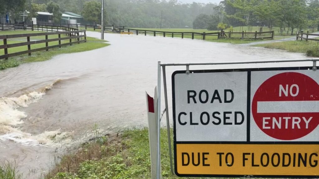
Wild weather more typical of summer than the last days of autumn has caused chaos in southeastern Australia, unleashing a string of severe thunderstorms.
Heavy rainfall accompanied by 500,000 lightning strikes across Queensland and NSW has triggered widespread flash flooding, road closures and travel disruptions.
Tasmania was also set to cop the brunt of the unseasonal weather that hit hard on Thursday.

“It’s very, very late in the season before winter to be getting these sorts of weather systems coming through,” the Bureau of Meteorology’s Jonathan How told AAP.
“It’s very much the sort of weather pattern that you see during the spring or summer from the point of view that it is very humid.
“You don’t typically see these big storm outbreaks across the east coast in the last five or six days of autumn.”

Mr How said the weather was being fed by well above average sea surface temperatures of up to 24C in the Tasman Sea, which was dragging extra moisture towards the coast.
“We’ve been having very warm sea surface temperatures over the last few months, and that does increase the potential for any rainfall events on the coast,” he said.
“More broadly, with rising temperatures, it does increase the frequency of extreme rainfall events.”
Meteorological agencies have claimed sea surface temperatures in April were the highest on record in the equatorial Pacific region.
Severe weather warnings have been issued in Queensland, NSW and Tasmania, with wild weather set to continue on Thursday.

Brisbane was hit by severe weather from Wednesday, with many roads temporarily cut as rain hammered down from the north, with the city recording 43mm by 8.30am on Thursday.
The deluge has provided welcome relief for farmers in Queensland’s southern interior and Darling Downs where 88mm fell at Bungil Creek near Roma and 68mm was recorded at Rosewood, with more rain expected on Thursday.
Much heavier falls were recorded in eastern Tasmania, with Gray copping a whopping 251mm to 7am on Thursday and St Patrick’s Head 132mm.

Severe thunderstorms and heavy falls are set to continue along the central and north coast of NSW, with a severe weather warning and flood watch alert issued for the Hunter and mid-north coast.
The rainfall was most likely to contract to the NSW coast by Friday, but the heaviest falls were dependent on the unpredictable movement of the low pressure system, the bureau said.
Rains are expected to ease over the weekend as the low moves offshore, creating hazardous surf conditions along the east coast.
AAP