States batten down again as more heavy weather looms
Andrew Stafford |

More heavy weather is forecast across Australia, with severe thunderstorms predicted from the Kimberley and Top End all the way across to the east coast.
The worst conditions are predicted for the Hunter Valley, adjacent ranges and mid-north coast of NSW, with giant hail possible on Saturday.
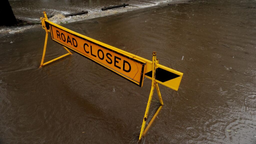
The Bureau of Meteorology said damaging winds of more than 90km/h, large hail and heavy rainfall leading to flash flooding were possible from southern Queensland to eastern NSW.
It warned of damage to vehicles and property from hail, and possible travel disruptions due to hazardous driving conditions including water on roads, strong crosswinds and power outages.
A cold front was moving across the country’s southeast, bringing cooler conditions to South Australia, NSW, Victoria and Tasmania, with unstable conditions ahead of the front.
At the same time, a low-pressure system in the Tasman Sea was dragging humid air onshore in eastern Victoria, already sodden after a week’s rainfall.
The bureau predicted 20 to 40mm could fall in eastern parts of the state, with a risk of isolated flooding.
Conditions are predicted to ease on Sunday, and while thunderstorms are still forecast in eastern Queensland and NSW, they are not expected to be severe.
The eastern states have already been hit by severe weather to mark the beginning of storm season.
Parts of southeast Queensland were battered by giant hail measuring up to 9cm in diameter last weekend, with some 70,000 homes losing power.
AAP