Another wet spell for Queensland as warm seas feed moist atmosphere
Richard Dinnen - Queensland Editor |
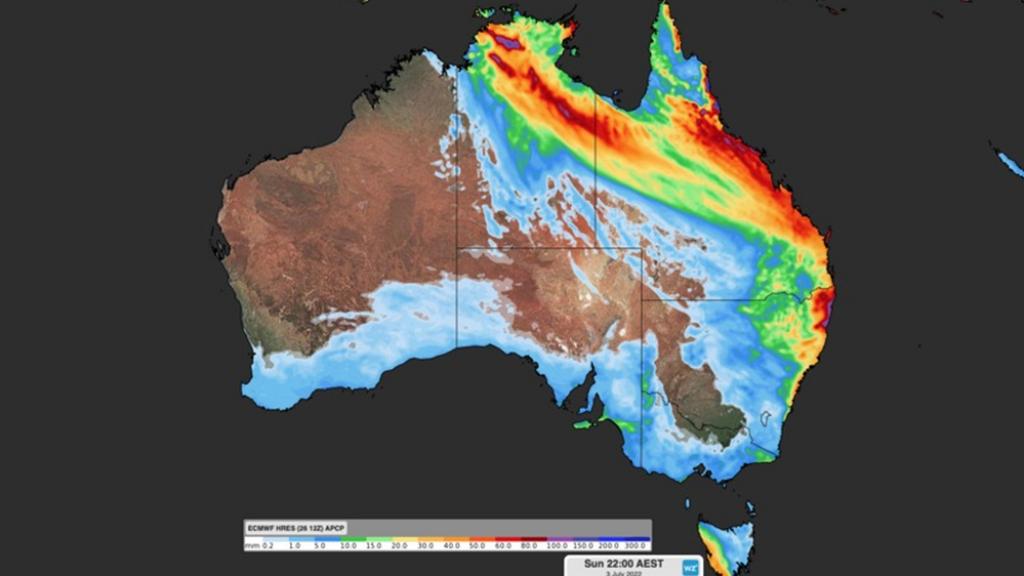
Weather forecasters say wet conditions will affect large parts of Queensland over the next few days, with moderate to heavy rainfall possible in some areas.
The Bureau of Meteorology said a combination of upper level and surface troughs will combine to create wet weather in parts of the state from Friday with conditions easing next week.
The developing weather system is being helped by warmer than average sea surface temperatures off Australia’s north and west coast that are feeding moisture into the atmosphere, which climate scientists say is a consequence of an extended La Nina weather event.
The return of the wet weather comes at the start of the north Queensland dry season and just a week after the Bureau of Meteorology said the La Nina was over.
Rain is forecast for parts of north-west and central Queensland, with coastal areas possibly being affected as the system develops.
Falls of 50 millimetres or more are possible in some areas.
The Bureau of Meteorology said there’s some uncertainty about how the weather system will develop and where the heaviest rainfall will be.
It says moderate to locally heavy rainfall could be possible in parts of central and southeast Queensland on Saturday and Sunday, depending on the position and movement of the surface and upper troughs.
The system could also extend into parts of New South Wales, possibly reaching as far south as Sydney.